This article appeared in the Tweed Valley Weekly 8th November 2024
by Luke Naismith, Resilient Uki
When it rains, it pours. But will it flood? Sometimes it rains a lot and doesn’t flood, at other times it floods without much rain. What’s going on?
Over the past month, two significant rainfall events impacted the Tweed Valley in vastly different ways. In late September, we had high rainfall in the upper catchment area of the Tweed River and relatively low rainfall in Murwillumbah and at the coast. In early October, we had the opposite, high rainfall and local flooding in downstream areas and relatively low rainfall upstream.
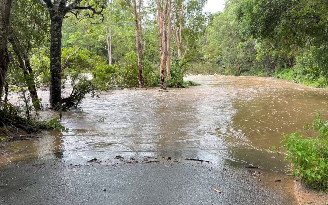
I live just south of Uki and keep a close eye on the forecasts and that earlier event caught many people off-guard, including me (and some folks towing a caravan as reported in recent editions of The Weekly)! We had some rain the previous couple of days but not enough to raise the water in our local creek. When we went to drive out to Uki’s Saturday morning farmers market, we came across a flooded Tweed River cutting off our access road! We were not expecting that flooding to occur.
How can we find out if the river is flooded or about to flood? Neither the Bureau of Meteorology’s (BOM) flood warning service nor the Tweed Shire Council flood monitoring cameras are useful indicators upstream of Murwillumbah as they only cover downstream locations on the river plain. Uki’s local roads are flooded long before then.
An alternative is checking the BOM website for river heights and rainfall in our local area. Many people in our community look at the Palmers Road river height as an indicator of whether flooding has occurred. It’s our most upstream indicator. We also look at BOM rainfall data including Uki, Palmers Road, Doon Doon and Kunghur gauges but this lags by at least an hour and maybe it’s rained elsewhere in the catchment area. We need better and more timely information.
Local not-for-profit Resilient Uki (RUKI) and similar organisations at The Channon and Main Arm are collaborating with researchers at Australian National University to develop a flood intelligence network using citizen science approaches to enhance community awareness and preparedness. This involves installing stream monitoring stations and rain gauges in upper catchment areas to show real-time data publicly online. Even better, the SES will use this data to issue flood warnings to our local communities.
So, stay tuned via resilientuki.org. Better flood warning systems are coming.

